UN
1 East Road
£ 265,000
Description
We don't have a Description for this property.
- Bedrooms
- 3
- Bathrooms
- 0
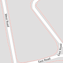
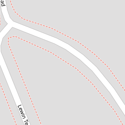
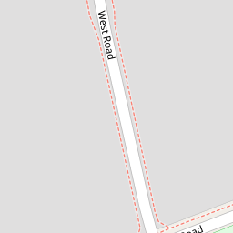

Leaflet © OpenStreetMap contributors
The heatmap indicates the level of crime in the area. The color of the heatmap indicates the crime severity and recency.
Metrics Year-on-Year
- Average area value
- 403,782.00 £Increased by 4.11 %
- Average area rental value
- 1,943.00 £/moIncreased by 2.86 %
- Est rental Yield
- 5.77 %Decreased by 1.20 %
- Crime Rate
- 18.00 %Unchanged by 0.00 %
from 387,850.00 £
from 1,889.00 £/mo
from 5.84 %
from 18.00 %
Nearby Schools
| Name | Type | Ofsted | Distance |
|---|---|---|---|
| Bedfont Children'S Centre | Children's Centre | 0.52 KM | |
| Fairholme Primary School | Community School | Good | 0.65 KM |
| Bedfont Primary School | Community School | Good | 0.65 KM |
| Marjory Kinnon School | Community Special School | Good | 0.83 KM |
| Edward Pauling Primary School | Community School | Outstanding | 1.43 KM |
Images
Nearby Streets
| Name | Average Price | Average Sqft | Distance |
|---|---|---|---|
| Elm Road | £ 0 | 0 | 0.00 KM |
| Cedar Road | £ 0 | 0 | 0.00 KM |
| Beech Road | £ 508,333 | 0 | 0.00 KM |
| Cleeve Court | £ 425,000 | 0 | 0.00 KM |
| Monarch Close | £ 446,667 | 0 | 0.00 KM |
Nearby Transport
| Name | NLC | TLC | Distance |
|---|---|---|---|
| Heathrow Terminal 4 | 7091 | HAF | 1.28 KM |
| Feltham | 5559 | FEL | 2.85 KM |
| Heathrow Terminals 2 And 3 (Rail Station Only) | 7090 | HXX | 2.93 KM |
| Ashford (Surrey) | 5667 | AFS | 4.12 KM |
| Sunbury | 5608 | SUU | 4.35 KM |
Nearby Listings
| Address | Price | Type | Score | Distance |
|---|---|---|---|---|
| East Road, Bedfont | £ 249,999 | BUY | 5 / 10 | 0.05 KM |
| East Road, Bedfont | £ 425,000 | BUY | 7 / 10 | 0.05 KM |
| Lewin Terrace, Bedfont | £ 279,999 | BUY | Unknown | 0.13 KM |
| 16 Lewin Terrace, Bedfont, TW14 | £ 300,000 | BUY | 5 / 10 | 0.13 KM |
| West Road, Feltham | £ 484,950 | BUY | 7 / 10 | 0.13 KM |
Nearby Properties
| Address | Price | Distance |
|---|---|---|
| 21 East Road | £ 306,000 | 0.00 KM |
| 43 East Road | £ 88,500 | 0.00 KM |
| 27 East Road | £ 205,000 | 0.00 KM |
| 31 East Road | £ 226,500 | 0.00 KM |
| 29 East Road | £ 265,000 | 0.00 KM |